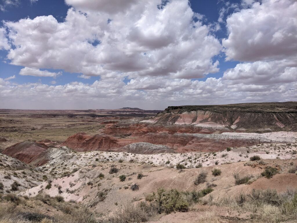
I did the 23.4 miles rim to rim day hike through Grand Canyon during the last week of November (Thanksgiving weekend) 2017. Unlike most hikes like Mt. Whitney, the hard part (ascent) comes later, and therefore, it is easy to get trapped. Be confident of your fitness level before you try this.
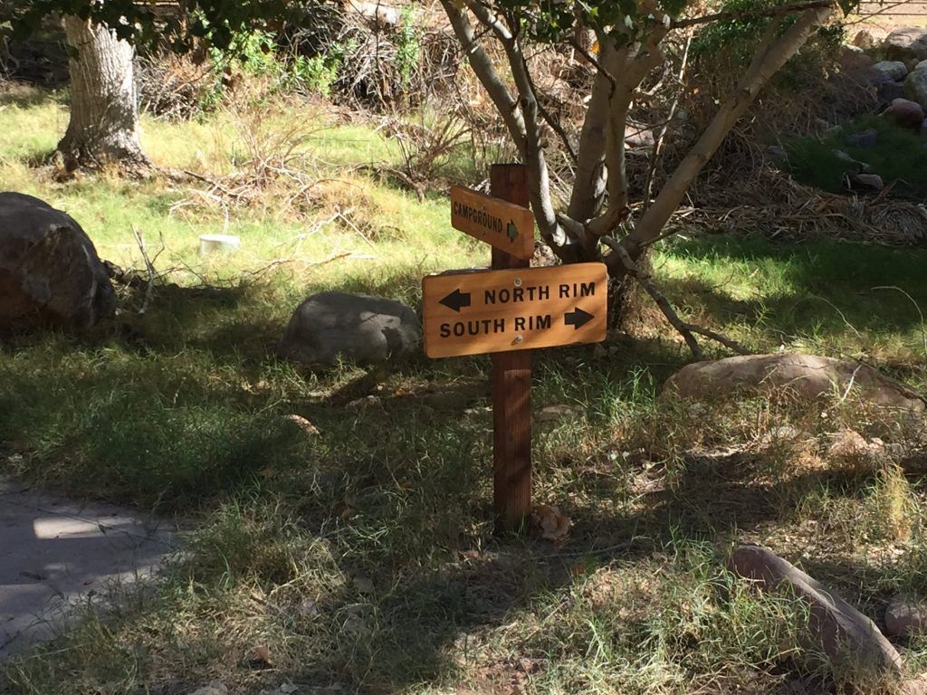
What to carry There are multiple water stops, some seasonal, some permanent, check the current situation at the NPS website. The water supply comes from Roaring Springs, and it has high Chlorine content. I carried ~3L of water and 1L of Gatorade. I think the 2L of water is the absolute minimum to avoid the risk of dehydration. Also, get a hydration pack so that you are drinking more frequently and without stopping. Wear good trail hiking boots since many parts of the trail are rough. Carry protein bars and trail mixes for snacking. Cache the map of the Grand Canyon in Google Maps since there is no network connectivity inside the canyon. Carry a detailed list of the checkpoints you are going to encounter, along with the distance to track how well you are doing. You can download a sample tracking sheet from Grand Canyon hiking time tracking sheet, and you can see my full sheet under “My Journey” section in this blog post. About the Journey The road AZ 67 to the North Rim closes on the first snowfall, therefore, check it’s the current situation before leaving. The North Rim is less touristy, less accessible, and higher elevation than the south rim, therefore, start the hike on the north rim and end it on the south rim. There is precisely one trail to take on the North Rim, that’s North Kaibab trail. The total length of the trail is about 14 miles, and the elevation change is about 5800 ft. There are two trails one can take to go up the South Rim, South Kaibab trail or Bright Angel Trail, Bright Angel trail is longer but has lower elevation gain and has one water stop (Indian garden), therefore, take the Bright Angel trail while going up the South Rim. The total length of this trail is about 9.4 miles, and the elevation change is about 4400 ft. On average, it seems it takes anywhere between 12 and 15 hours to finish the hike. My Journey Download a copy of this sheet for your use here.
...